Made to orderShips flat, ready to frameCustom places available

Prints of places · 40.7128° N, 74.0060° W

Your place,
plotted.

Every street, drawn in fine line and framed in white. Pick a city we've already mapped, or choose any place on Earth and we'll print it just for you.

Sizes
12×16 to 24×32
Made
On order
Map data
OpenStreetMap
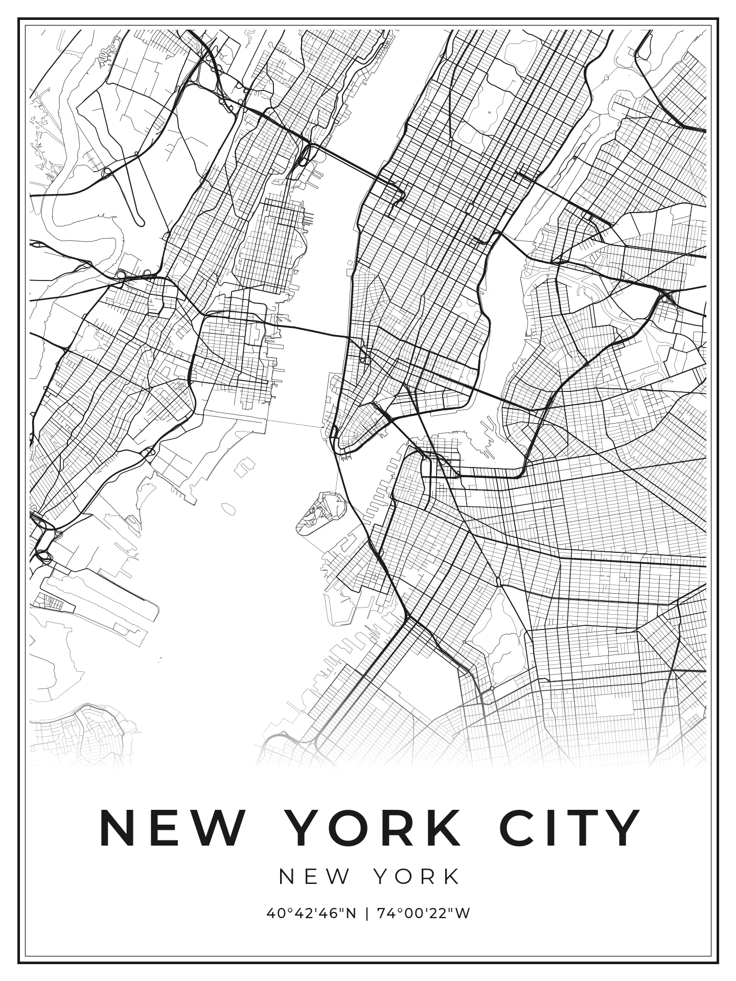
New York City street-map print in a black frame
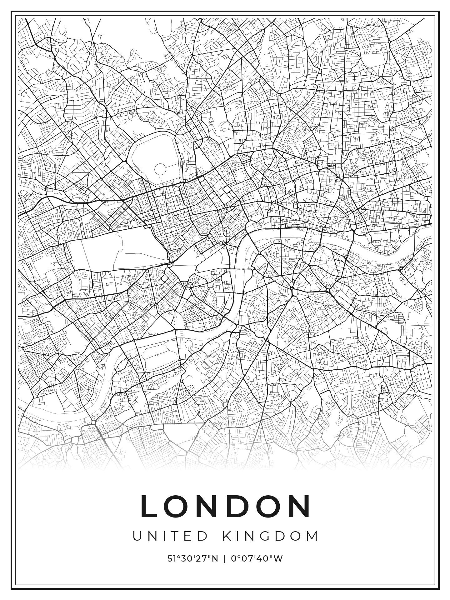
London street-map print in a black frame
40.7128° N 51.5074° N

01 — The collection

Places we've plotted

Every line is a real street. Pick one, or plot your own.

02 — Why Plotted

A place is a story.
Hang it up.

Photos disappear into your phone. A map on the wall is something you see every day, and it says this is where I'm from, where I live, where I've been. It's also one of the easiest gifts to get right, because there's a place that matters to everyone.

01

For the college student

Make the dorm feel like theirs

Bare cinder-block walls are a blank canvas. A print of their college town, or the hometown they're missing, makes a small room feel personal. It's a graduation or send-off gift that won't end up in a drawer.

02

For the first-time mover-outer

Mark the first place that's yours

First apartment, first city, first lease. A map of the neighborhood where it all starts is the housewarming gift that gets more meaningful every year they stay on the wall.

03

For the city collector

Remember where you've been

If you love exploring cities, a souvenir shouldn't be a fridge magnet. Build a wall one place at a time: New York, Rome, London, wherever the trip was. Each print carries the exact coordinates.

04

For the sentimental ones

The places that matter most

Where you met, the venue you got married at, the street you grew up on, the family home. Anywhere you can point to on a map can be a custom print.

03 — Custom

Any place on Earth.
Yours.

Your first apartment. The town you grew up in. The trail you finished, the venue you got married at. Find the place, frame exactly the streets you want, and we'll plot it in the same fine-line style as the collection.

  1. 1 Search, or drag the map
  2. 2 Zoom until the frame holds your area
  3. 3 Add a title and size
—

Drag to move · scroll or +/− to zoom · drag a corner to resize the frame

Size

Your title, subtitle and the exact coordinates of the frame's center are printed on the poster.

04 — How it works

From coordinates to your wall

  1. 01

    Pick a place

    Choose from the collection or request any location of your own.

  2. 02

    We plot it

    Streets and waterways are drawn from OpenStreetMap data into a clean, print-ready layout.

  3. 03

    Printed & shipped

    Made to order and sent flat, ready for the frame you choose.

Size
1

Unframed print. Framing options coming soon.

Preview · fewer streets

Print preview

This is your print

Your final print has every street This preview only draws the main roads. The finished poster is made at full resolution with every street included, so it will look much more detailed.